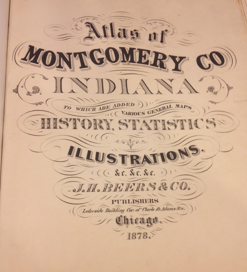
An atlas. Behold the title page: On page 29 of this 1878 atlas, we see the City of Crawfordsville, Indiana and some surrounding territory. Check out the area just north of the growing community. There is much of interest on the map. The County Poor Farm leaps off the page, along with the Pest House. A railroadContinue reading “Ice House”
Tag Archives: Featured
Four Thousand Warriors
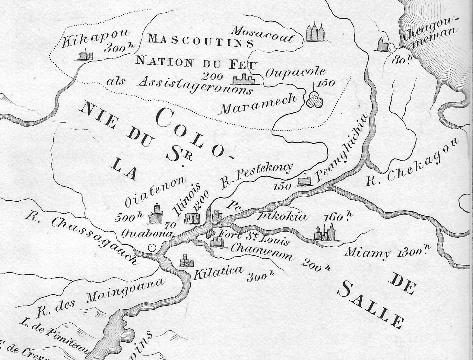
Amidst political intrigue on all fronts, Renè-Robert Cavalier, Sieur de La Salle and his able Lieutenant Henri de Tonty, spent the first months of the year 1683 building a fort deep in the woods of North America. They constructed Fort St. Louis upon a huge outcropping of rock overlooking the Illinois River, known today asContinue reading “Four Thousand Warriors”
Two French Maps and Several American Rivers

As the 17th century yielded to the 18th, France was a remarkable, powerful nation. King Louis XIV, the Sun King, had been on the throne for more than 50 years. Administrative power in France was centralized around the royal court, the once powerful Spain was coming under the influence of France, and the province ofContinue reading “Two French Maps and Several American Rivers”
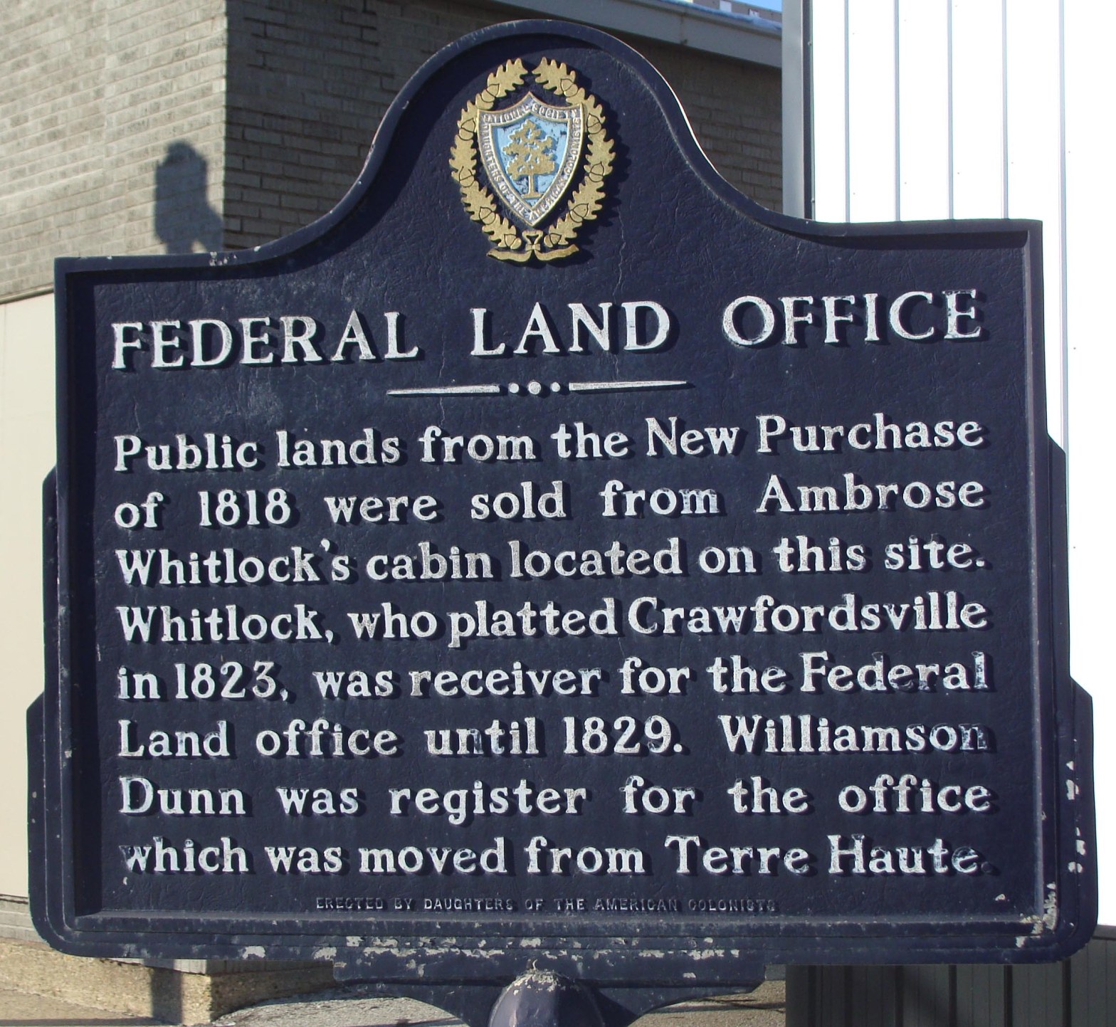
Who Sold the New Purchase?
This is a reprint of an article originally published in the Fall 2015 edition of the Hoosier Surveyor, the quarterly magazine of the Indiana Society of Professional Land Surveyors. The magazine may be viewed by clicking this link: Hoosier Surveyor Volume 42-2. The full article is printed below. Who Sold the New Purchase? By JimContinue reading “Who Sold the New Purchase?”
A Marvelous Map
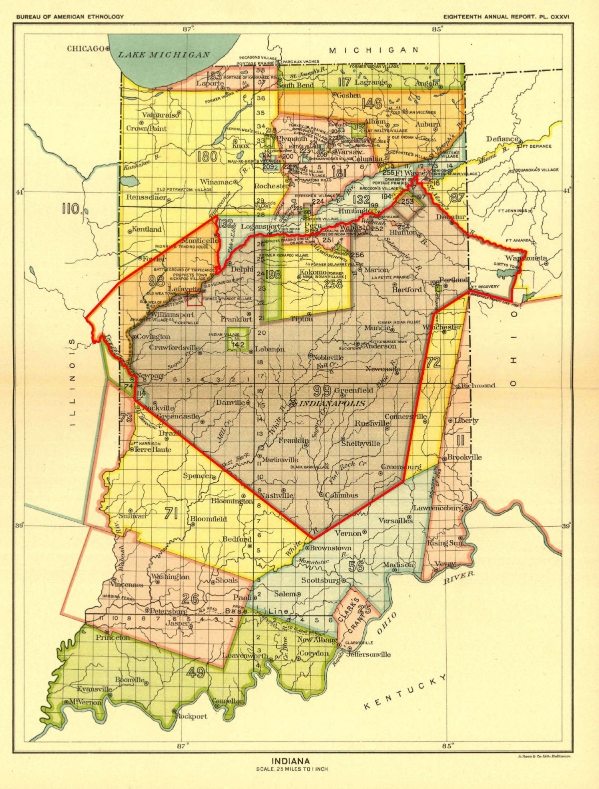
This is a reprint of an article originally published in the Summer 2015 edition of the Hoosier Surveyor, the quarterly magazine of the Indiana Society of Professional Land Surveyors. The magazine may be viewed by clicking this link: Hoosier Surveyor, volume 42-1. The full article is printed below. A Marvelous Map by Jim Swift OneContinue reading “A Marvelous Map”
